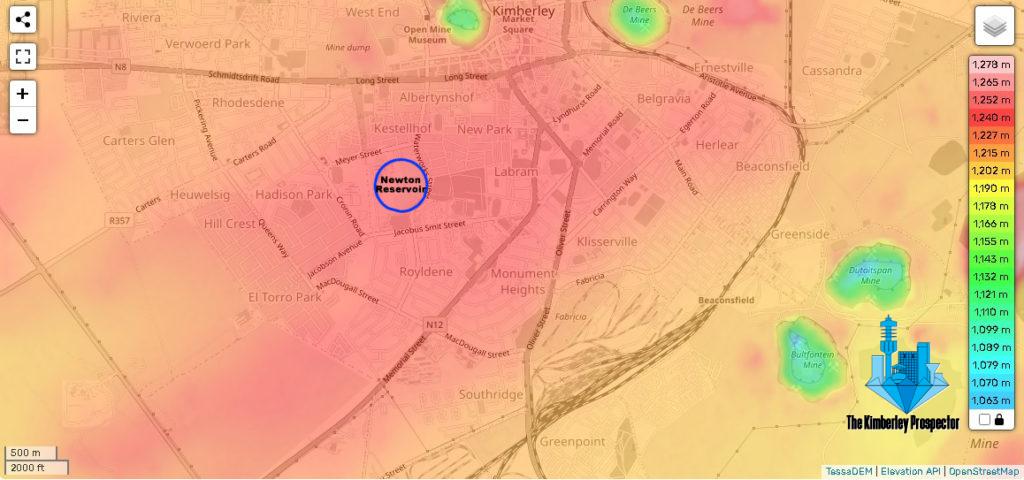
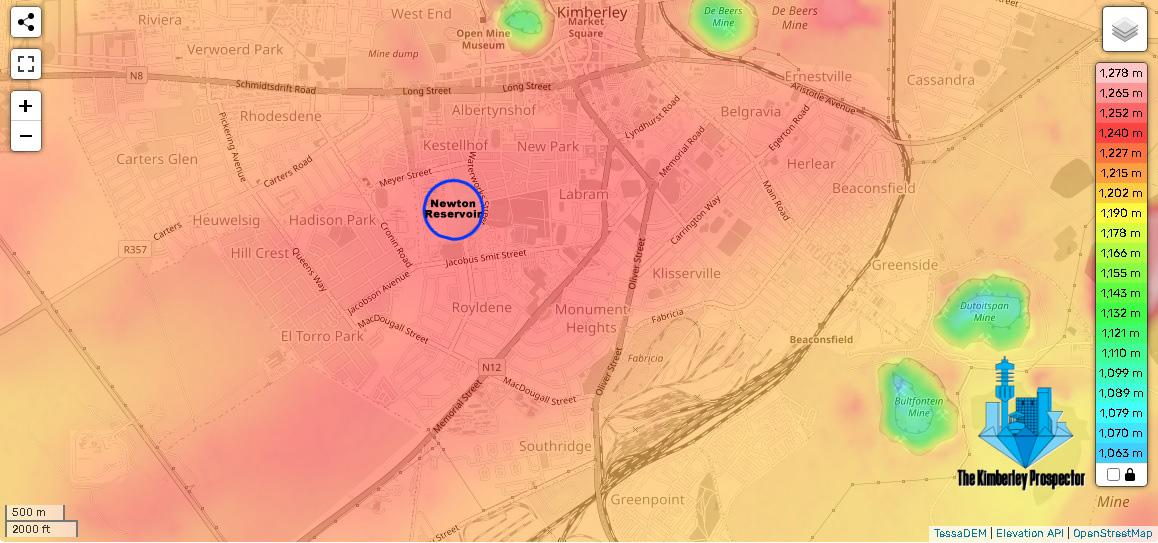
Explore the intricate landscape of Kimberley, Northern Cape, through this detailed topological map highlighting the Newton Reservoir and nearby neighbourhoods.
A topological map is a specialized representation of the Earth’s surface that emphasizes the relationship between landforms. In this visualization, elevation differences are depicted using a colour gradient, with red representing higher laying areas and a spectrum of colours—orange, yellow, green, and blue—indicating progressively lower laying regions.
Gain insights into the geographical nuances of Kimberley and its suburbs, as well as the significance of the Newton Reservoir in shaping the local topography.

